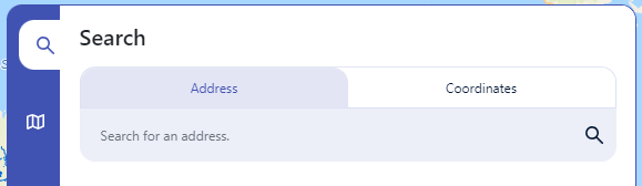
This tool allows you to search for an address/point of interest, a set of coordinates (currently accepted in the format of Latitude, Longitude) and What 3 Words. (Shown in Figure 1)
Once you have finished typing your search parameters, there will be a minor delay while locations are returned as suggestions (Shown in Figure 2)
Click on the desired location and the map will place a marker on that location and zoom in on it.
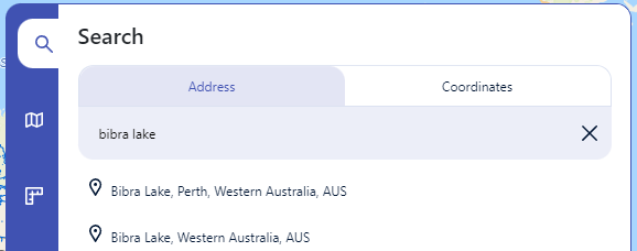
To cancel or remove the marker, click on the cross icon that replaces the magnifying glass after selecting a suggested location.
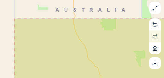
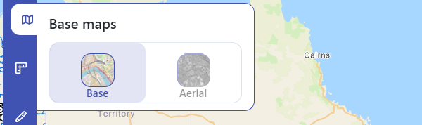
" }, { "title": "Base Maps", "content": "This tool allows to switch between a street and aerial base map as shown in the figure below.
 "
},
{
"title": "Upload",
"content": "
"
},
{
"title": "Upload",
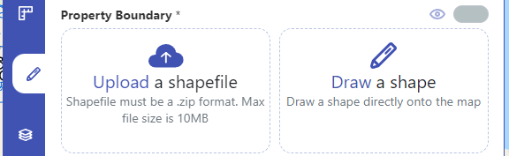
"content": "This tool allows you to submit zipped shapefiles or manually drawn polygons*
*This tool could allow upload/draw, upload only or draw only as configured by the administrator.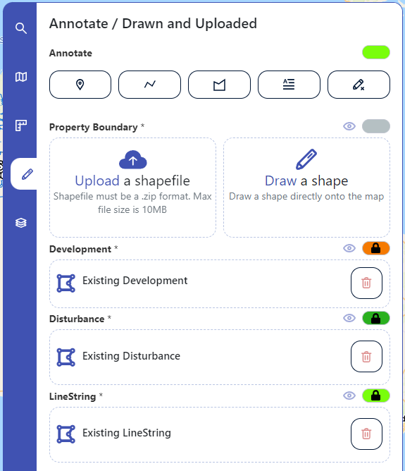
To upload a shapefile you can either drag your file directly into the file control or click on it to select your file.
Once a file has been uploaded the control will change to display the file name as shown below.
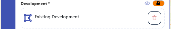
Next to the title of each upload control is an eye icon, you can use this to toggle visibility of each set of shapes. Visibility does not affect submission.
Next to the eye icon there is a circle with a colour indicating the styling applied to each shape.
To draw a shape instead click on the pencil icon at the top of 'Draw a Shape'. The same logic from annotations applies for cancelling the drawing. If upload/draw is available, you can only provide one of each.
You can also remove the shape by clicking on the red trash icon next to the file name.
 "
},
{
"title": "Legend",
"content": "
"
},
{
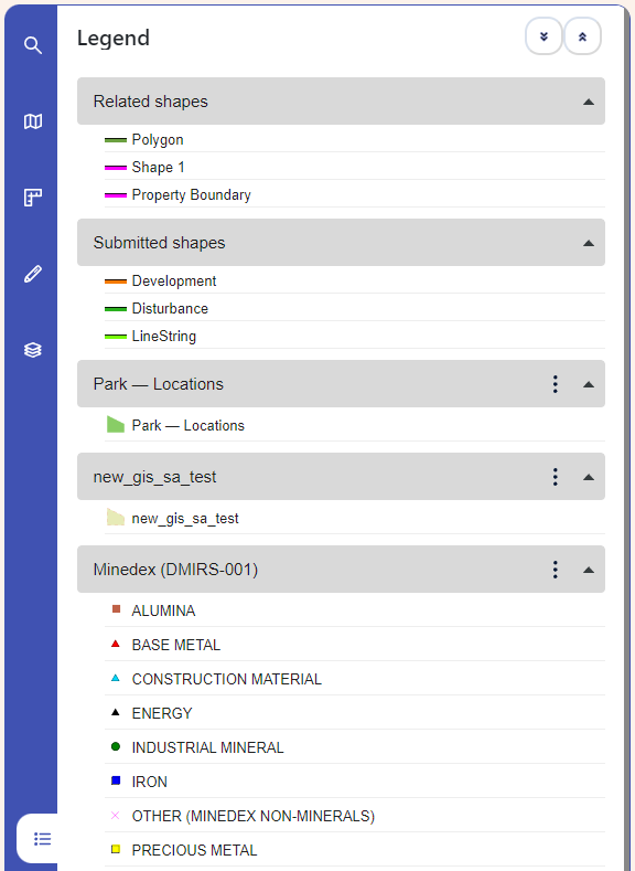
"title": "Legend",
"content": "This tool provides a styling guide on all elements rendered on the map (layers and uploaded/drawn shapes).
You can individually collapse/expand legend entries or use the 'Expand All' and 'Collapse All' buttons.
 "
},
{
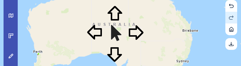
"title": "Keyboard Navigation",
"content": ""
}
]
}
"
},
{
"title": "Keyboard Navigation",
"content": ""
}
]
}